 Sydney, Australia. 23 September 2009. http://2009.foss4g.org
Many FOSS4G workshops are close to full, with one workshop already at capacity. http://2009.foss4g.org/workshops/ People wanting to learn about Geospatial Standards, Geospatial Open Source Software and Business Cases should sign up soon to avoid disappointment.
Also, in Open Source tradition, there is a breadth of other exciting activities to sign up for:
- Wed evening: Ignite Spatial - 5 minute talks about anything spatial
- Birds of a Feather - register a discussion topic
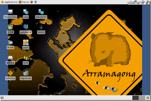
- Live DVD - beta version is ready to test
- Saturday afterwards: Code Sprint
- Demonstration Theatre still a few slots free
- InstallFest - sign up if you will be there
- OSGeo Annual Meeting
- Volunteers - do you have a space set of hands that can be put to good use
- Benchmarking 2009 - the famous WMS shootout
- Posters
- Monday: FME User meeting
About FOSS4G
FOSS4G is the international Free and Open Source Software for Geospatial conference, which comes to Sydney, Australia, 20-23 October 2009. FOSS4G offers presentations, workshops, demos, an install-fest, and a code sprint. It is presented by the world's best Developers, Policy Makers, Sponsors and Geospatial Professionals and includes the latest geospatial applications, standards, government programs, business processes and case studies. Topics include mobile platforms, location based applications, crowd sourcing, cloud computing, development, spatial standards, integration of cross-agency data, Spatial Data Infrastructures, Sensor Webs, Web Processing Services, Integration of Open Source and Proprietary Software and more.
Media Sponsors
- Position Magazine: http://www.positionmag.com.au/
- Asian Surveying and Mapping Newsletter: http://www.asmmag.com
- Geoconnexions Magazine: http://www.geoconnexion.com/
- Directions Magazine: http://directionsmag.com/
- GIS Development: http://gisdevelopment.net/
- Baliz Media: http://www.BALIZ-MEDIA.com/
For more information or to keep informed from the FOSS4G Organising Committee, join our email list or twitter feed at: http://2009.foss4g.org/about_us/